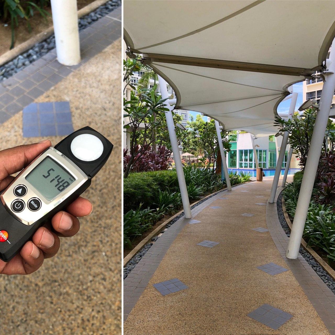
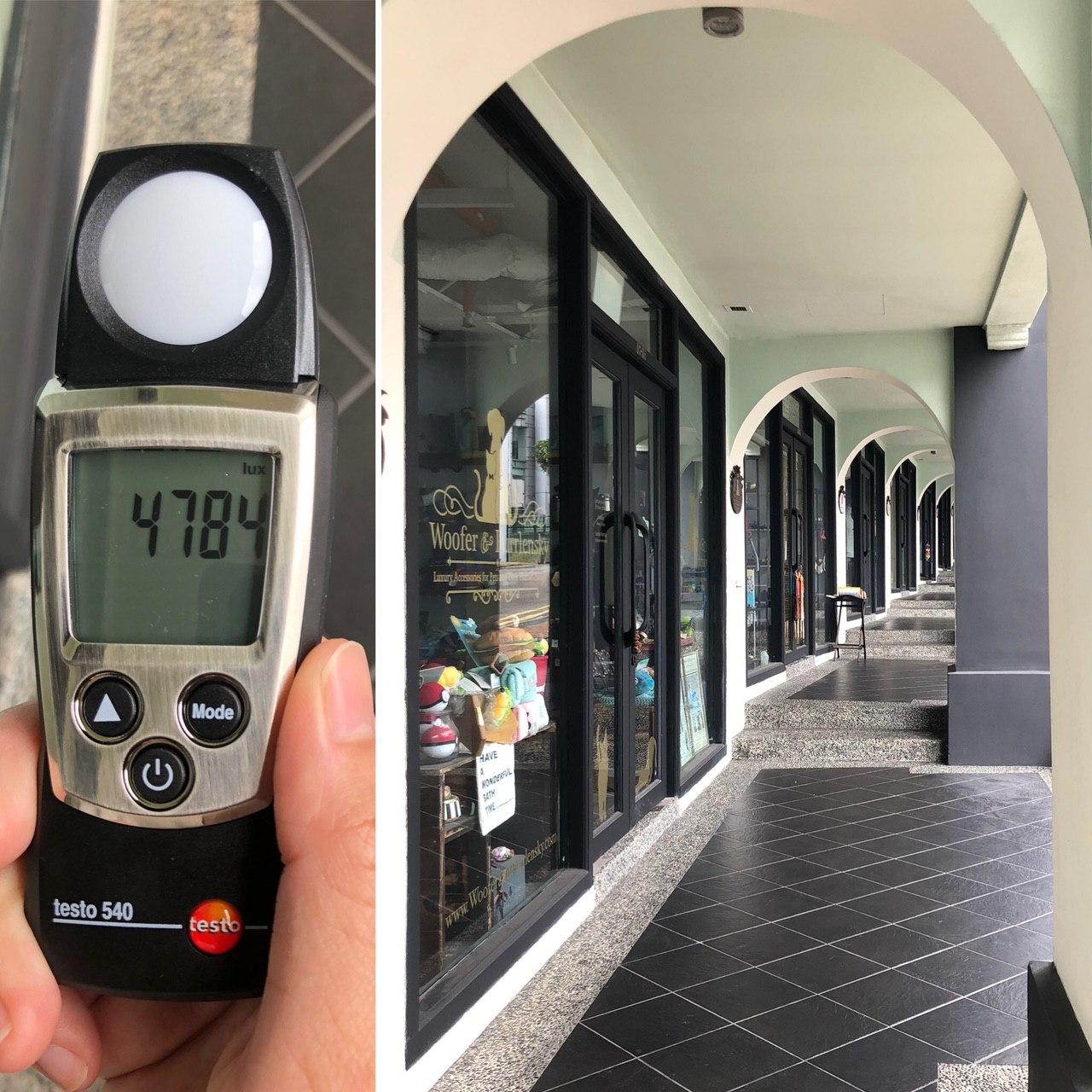
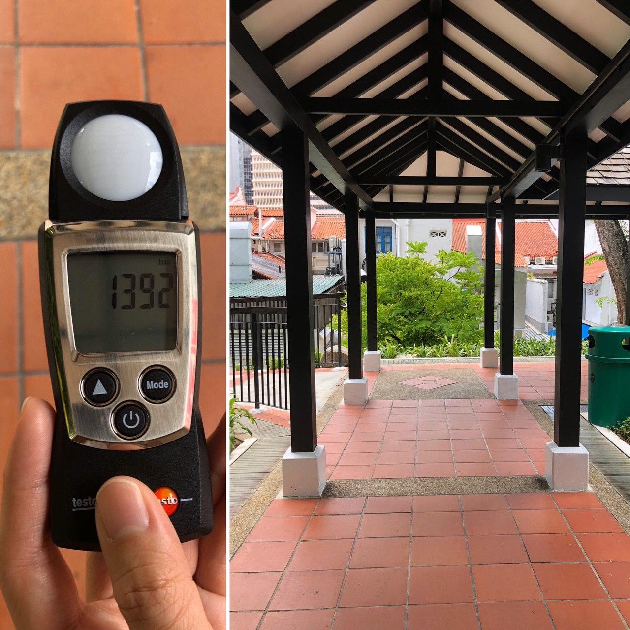
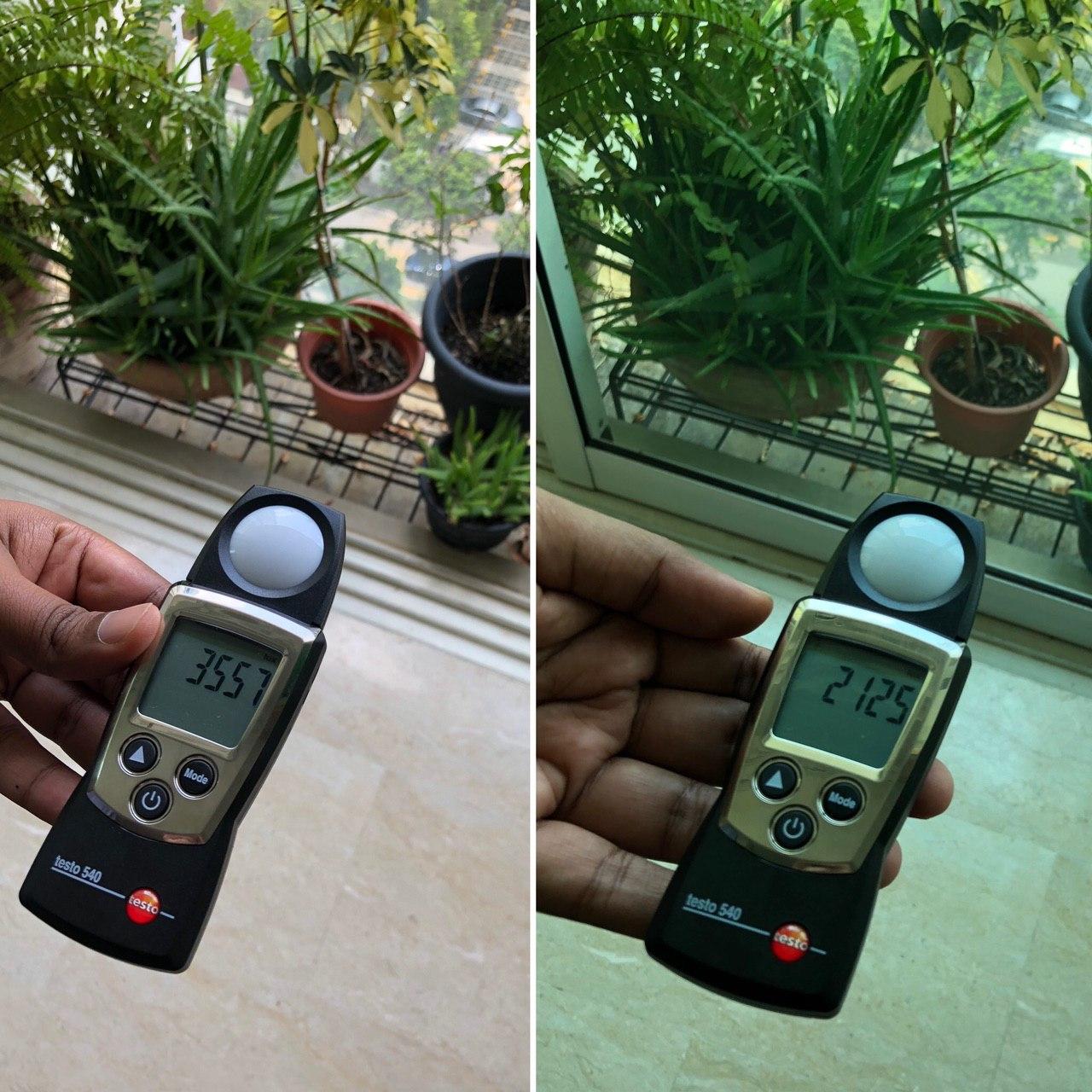
#daylightmapping
Daylight mapping for the outdoors
#daylightmapping is an experimental crowdsourced daylight data collection project on twitter. The goal of the project is to build intuition of daylight levels of our outdoor spaces while being able to guesstimate questions like what are daylight levels under a tree shade at noon? or What does a 5000 lux shaded space look like in the tropics?
How does the project work?
Started a twitter hastag #daylightmapping and inviting the daylight community to post pictures of their daylight lux sensor readings and the scene around along with a description of the environment.
Once in a while, I will run a script (to be released soon!) to scrape the tweets, collect the data and make it available on a Github public repository.